

Geospatial data comes in handy for knowing what kind of things are present at a particular place and how they look and function. With such location intelligence, companies can make more informed decisions.
By the end of this article, you will understand:
- How companies using geospatial data to offer a more personalized customer experience
- How businesses increase their operational efficiency and profit margins through geospatial data
Geographic Information System (GIS) and Global Positioning System (GPS) analyze geospatial data. This analysis can help you map and integrate location information of a particular place, object, or person with proper description.
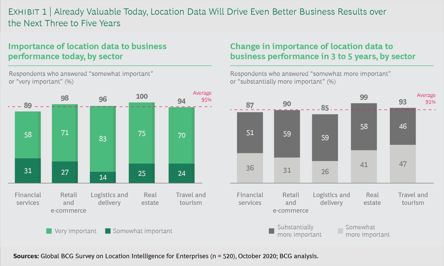
According to the Global BCG survey, 95% of executives across the globe consider mapping and geospatial data critical for achieving desired business goals.

Various Ways That Companies Are Leveraging Geospatial Data
Whether it’s a government relations agency, a clothing store, or a coffee shop, companies across the globe are trying to increase their customer conversion rates through geospatial data analysis. Here’s how companies use geospatial data to grow and retain their customer base.
Choosing the Right Store Location
Your business’s location plays a critical role in its success or failure. Geospatial data can help you understand the market condition of the prospective site. The data can also give you insight into the customers’ preferences and help you predict how your business will perform in a particular area.

Before analyzing the geospatial data for site selection, ask yourself:
- Are you selecting a site for a new store?
- Do you want to move, renovate or close your existing store at a particular location?
In both cases, you need to analyze the following geospatial data:
Competitors
Do you want your business to stay near your competitors? If you’re going to attract more customers, select a site where your competitors set up their business.
Customers often look for variety when shopping. This, in turn, can entice your competitor’s customer base to visit your store. It will further increase your store’s visibility and sales.
For instance, Burger King took competition heads on by targeting McDonald’s outlets in its proximity. Here’s how the campaign worked:
- The campaign “Escape the Clown” was inspired by the American horror movie “It Chapter Two.”


- The outlet compared the evil character of the movie to McDonald’s clown mascot and asked people to escape the clown.
- All this took place while people were on the premises of McDonald’s.
- Burger King went the augmented reality way. It placed a secret ad within the McDonald’s movie magazine where an article on “It Chapter Two” was present.

- Further, Burger King went ahead and leveraged location on social media. It took the help of Facebook and Instagram by setting up a calendar to target people visiting McDonald’s. Visitors instantly received a message from Burger King asking them to download its app. Visitors instantly received a message from Burger King asking them to download its app. In general Instagram for small businesses has been al lot of help.
- Once the visitors downloaded the app and scanned the said article, they received a coupon for the signature Whopper burger at the Burger King. People could redeem the voucher and get the burger for a cent.
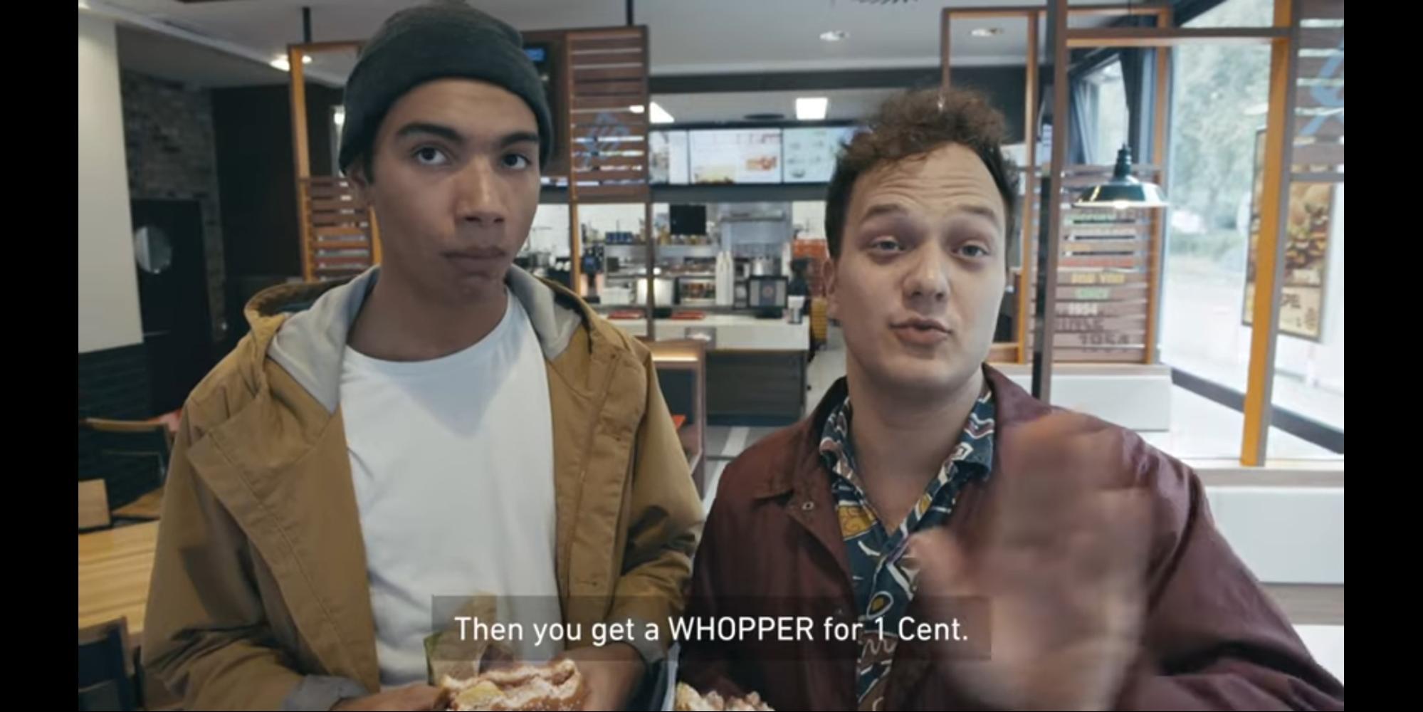
- The catch was the limited time of the coupon. The Burger King app used geolocation to provide people with the nearest route to McDonald’s outlets.


- Thus, as the campaign’s name itself suggested, people ran out of McDonald’s to redeem the coupon, thereby escaping the clown.
Customer’s Interest
Different bases of your customers in other locations might be having different points of interest. You can set up your store in a place where you have the highest customers at a particular point of interest. GIS and GPS will help you analyze this geospatial data and map out that location. These points of interest (POI) range from parking lots, restaurants and gas stations.
For instance, consider you want to set up an e-commerce store and find a large chunk of your customer base visiting a particular restaurant in an area. Such POI can be an ideal business location for you. “In this process, you will need to compare Wix vs WordPress to pick the best one for your eCommerce brand.”
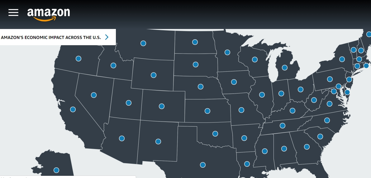
Here’s another example from the e-commerce giant Amazon. It made good use of the geographic data of authors, sellers, and developers on the United States map. This data came in handy when it launched its first physical bookstore.
Amazon stocked books in its bookstore based on the reading interests of the people residing in its proximity. As a result, Amazon went ahead and set up plenty of Amazon Go Stores. It also created a significant economic impact across the United States.

Level of Traffic
You can also leverage the traffic data while finalizing the store location. You should set up your store in an area where your target customers have high foot traffic. It will increase your store’s visibility and sales.
For instance, if you run a convenience store, placing it near a gas station and corners of the street will give you more footfall. Convenience stores provide easy access to essential utilities such as snacks and toiletries. So, people often visit these stores during commuting.
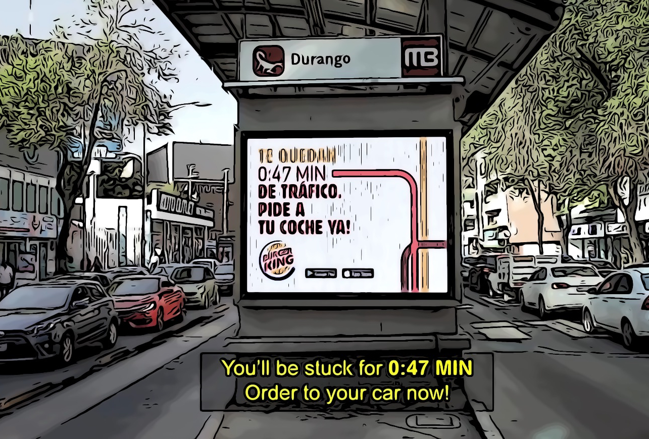
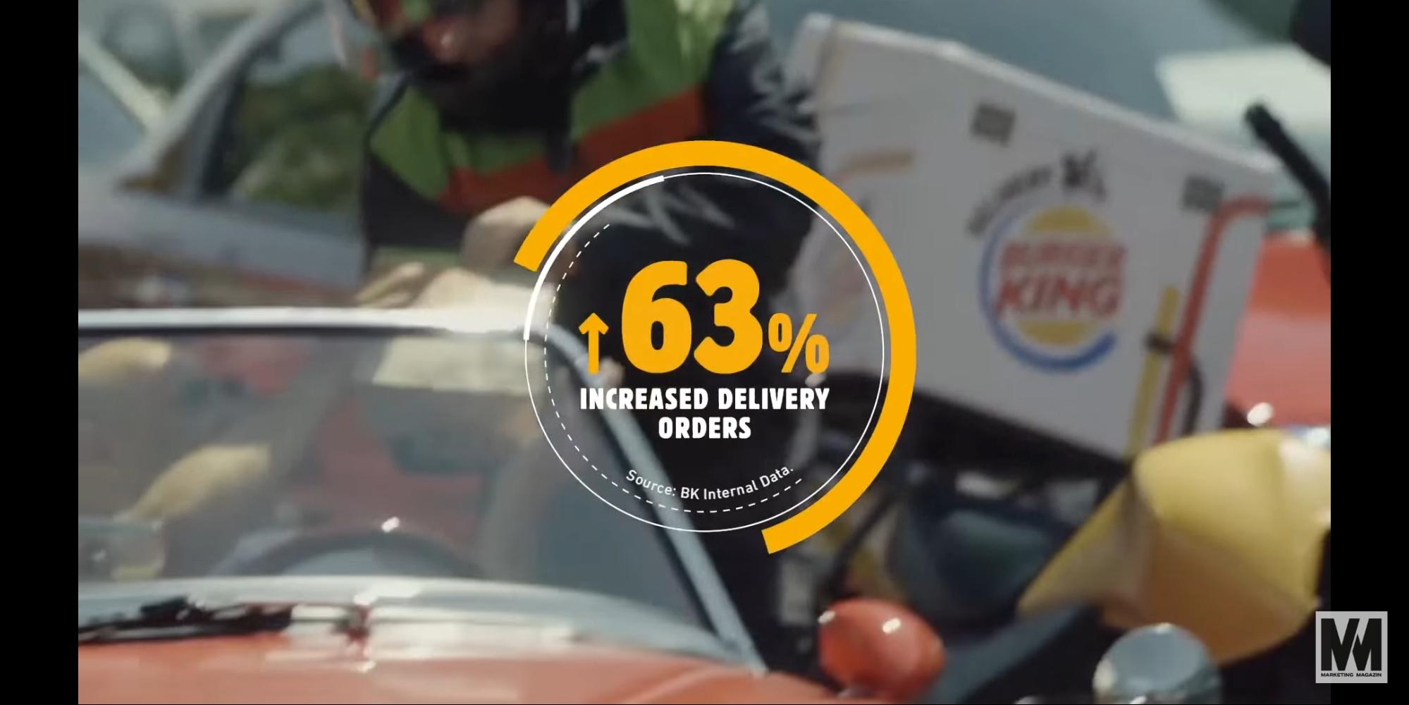
Further, if you have a knack for creativity, you can use the traffic data as Burger King did. Mexico has the worst traffic in the world. People there are stuck in the traffic for as long as 5 hours.

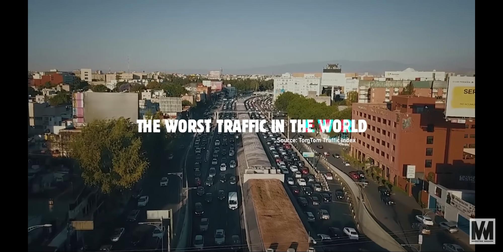
Burger King took it as an opportunity to increase its sales and came up with the campaign “The traffic jam whopper.” Here are some screenshots from an explainer video Burger King created.

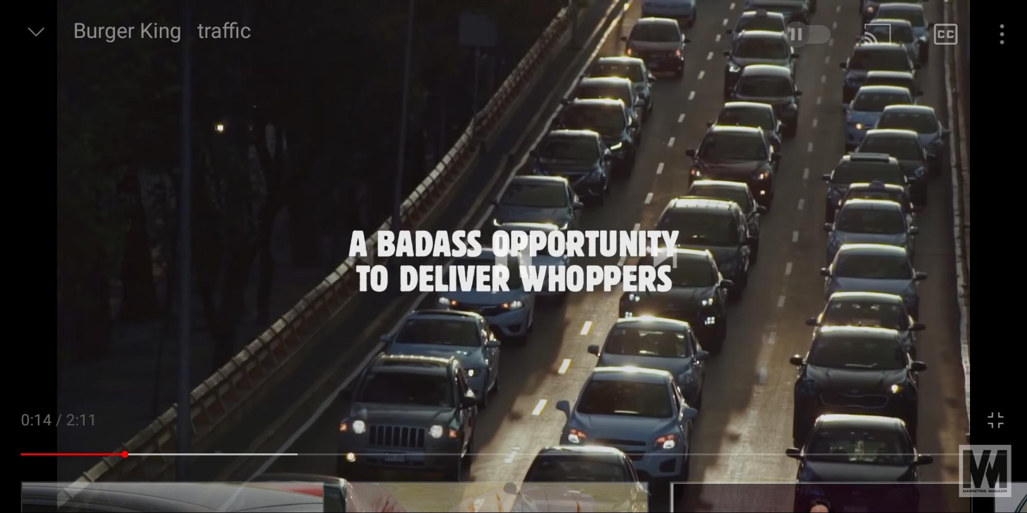
It combined the location data with beacon technology and sent personalized push notifications to customers stuck in traffic.
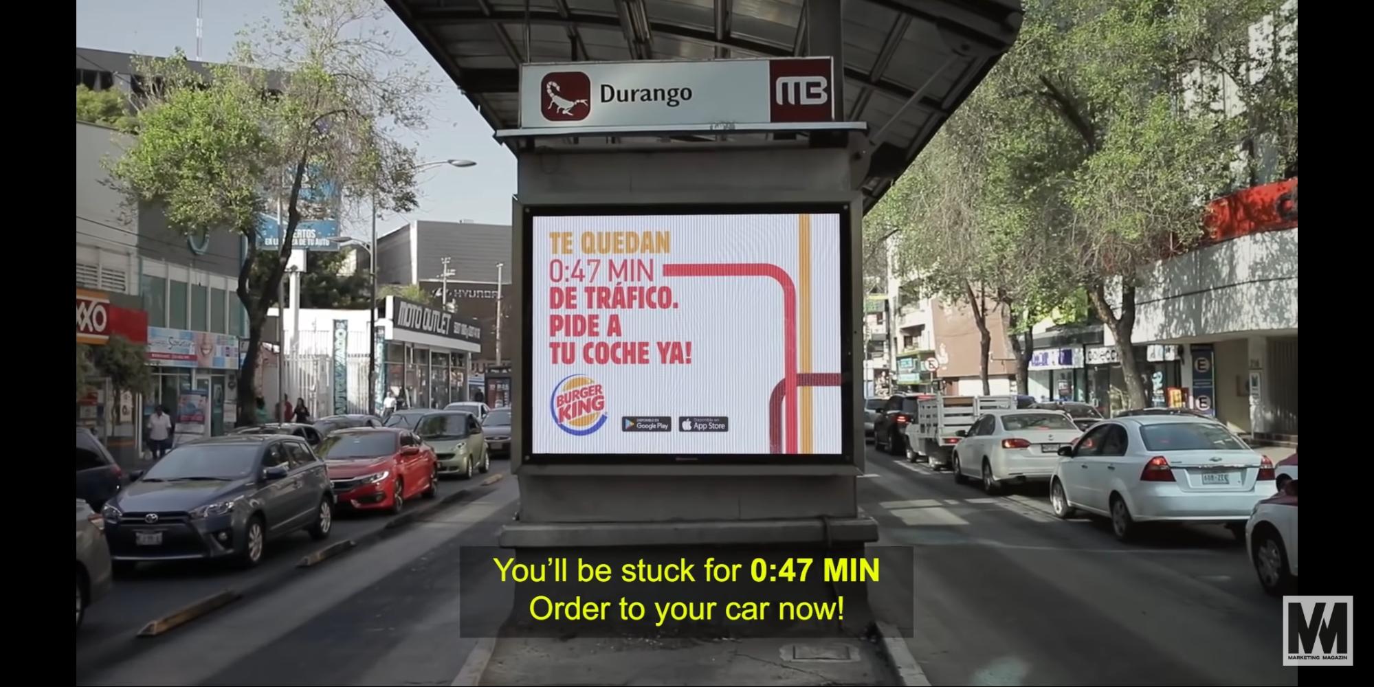

As a result, the campaign accelerated their sales by 63%.
Optimizing Supply and Distribution Route
If you are into the supply and distribution business, geospatial data such as satellite imagery can help you optimize your routes. Besides, you will also witness a considerable decrease in logistics costs.
You can also strategically locate your warehouse through geospatial analytics. Such optimization is beneficial for e-commerce stores that need to streamline their delivery and inventory management.
For instance, if you run a small grocery outlet and deliver fresh fruits and vegetables to grocers in varied locations, you can use GIS and GPS to get insights on following geospatial data:
- When were the fruit and vegetables plucked from the field?
- Which routes did the inventory vehicle take for the products to reach their destination?
- What was the quality of the products after their arrival?
If your products encounter problems such as stale fruits and vegetables, you can easily track the whole process. It will give you an in-depth insight into the loopholes from which you can instantly take corrective measures. This, in turn, will ensure that your future product deliveries are top-notch.
You can take the example of Amazon here. It launched its Amazon Prime Air Drone Project in 2020. The project worked on the combination of artificial intelligence with GIS. With this integration of geospatial data, Amazon delivers products to customers within a record time of 30 minutes. Now, that’s a brand strategy that helped Amazon fulfill its long-term goals of improving customer experience.
Better Customer Segmentation and Targeting
You can make your business successful through customer segmentation and targeting. This can help you create personalized marketing campaigns for your customers.
With GIS mapping, you can find out your customers’ consumption patterns. But, since these data contain sensitive information about your customers, you must keep it secure from cyber-attacks. When sharing it online, don’t forget to use a Virtual Private Network (VPN) to encrypt your geospatial data.
-
Which product/service are they using regularly?
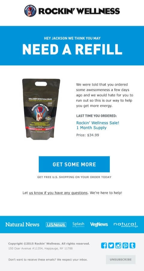
If they consume a particular food supplement, send them a reminder email or a push notification a few days before their supplement ends. Do it the way ROCKIN’ WELLNESS does with its reminder email.

-
Are they changing their buying preferences?
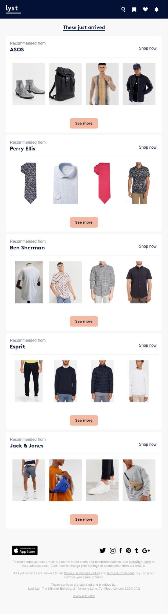
If they were buying custom hoodies from a particular brand, but are browsing other brands now, send them a recommendation email for similar products in new brands. Take some inspiration from Lyst to craft a compelling recommendation email.

Pro tip: Make sure your emails aren’t ending up in spam. A high email deliverability rate is a crucial indicator of reasonable conversion rates.
-
Are they purchasing from your competitors?
If they have switched to your competitors, retain them through loyalty programs, discounts, and coupons. A cost-friendly hack would be to send them through push notifications and emails with a discount offer to increase your conversions while keeping the cost low and improving your Return on Investment (ROI) by a whopping 10%.
Further, you can also try retaining your customers by organizing giveaways on social media.
Take a look at how Facebook did a phenomenal job with giving giveaways.
Make sure to have a verified social media account to establish credibility in front of your customers.
Publishing infographics depicting how your products and services are better than your competitors can also allure your customers to come back to you.
Analyzing Future Marketing Trends
From customer’s information to sales target data, you can analyze these data and come up with the following results:
- Forecasting future marketing trends
- Improving your sales strategy based on the consumption pattern of consumers
You can also take some inspiration from Walmart’s geospatial strategy. It makes use of a variety of location-based technologies to improve customer experience. These technologies include geo-fencing, store map features, and artificial intelligence. Let’s take a look at how they implement this high-end location-based strategy:
- To improve navigation through a Walmart store, the brand came up with a store map feature on its mobile app. The segment contains unique layouts of all the Walmart outlets in the US. They further provide the exact location of each product present in each outlet.
- On Black Friday, Walmart came up with an exclusive Black Friday Store Map. It gives customers the precise location of the most exciting Black Friday deals. The map highlights the high-demand product locations with the help of color-coded maps. These maps were accessible by clicking on the “map your deals” button.
- Walmart manages its vast inventory with the help of AI-backed robots. It installed automatic shelf scanners in its various outlets. These scanners have cameras that monitor the items present on the shelves. If any product goes out of stock, or if the labels or pricing are wrong; these scanners alert the store manager.
So, you see, how geospatial data helped Walmart take its customer experience to another level?
Now, let’s take another example of how Neil Curie, an investment banker analyst, predicted Walmart sales using satellite data.
He gathered satellite data of 100 Walmart stores and analyzed the number of vehicles in their parking lot every month. It gave him a clear idea about the regular flow of customers in the retail outlet.
He further used the regression technique. It helped him figure out how the vehicles in the parking lot were in direct proportion to the Walmart earnings. With this correlation, he was able to predict the sales of Walmart for the next quarter year.
Now that’s how you use geospatial data like a pro. Imagine doing the same for your business and skyrocketing your earnings!
Wrap Up
With the proper usage of geospatial data, businesses can pave new avenues of success.
Amazon, Walmart, and Burger King are the top brands that are leveraging geospatial data.
In a nutshell, geospatial data can help you understand your customers and competitors better. This, in turn, will help you develop top-notch marketing strategies and speed up your sales and revenue.


Dhruv Maheshwari is a SaaS Content Marketer who helps brands grow organically by designing a winning content strategy and creating outstanding content pieces. In his free time, he is chiseling his fitness goals and traveling around the world.